
Printable sheet
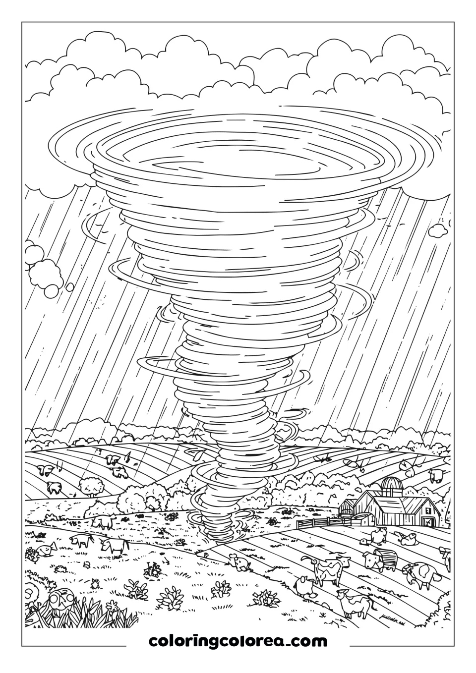
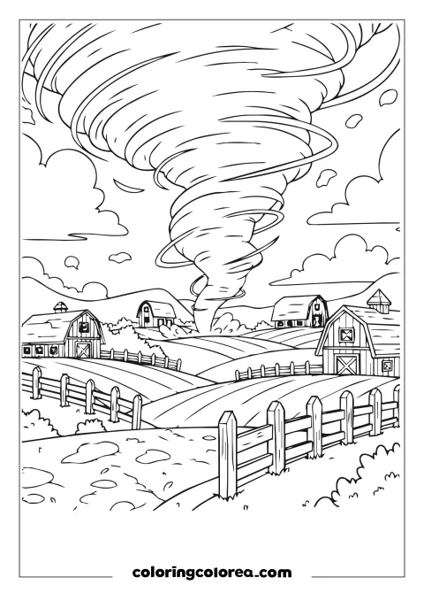
Rainy farmland tornado touching down beside grazing cows and a distant farmhouse. A highly detailed weather printable for teens; free PDF download.
Printable sheet
Free for personal and educational use
Download PDFPrintThick clouds, a wide many-ringed funnel, heavy rain, plowed fields, grazing cows, bushes, wildflowers and a farm with a silo.
Fill the funnel bands with several grays first, then add the rain last with fine light strokes.
Label Tornado Alley on a US map and mark where Gulf moisture and Canadian air collide.
Tornadoes have been recorded on every continent except Antarctica.
A rainy farmland tornado, dropping down over open fields and grazing cattle, is a classic springtime scene across the Great Plains. The stretch running roughly through Texas, Oklahoma, Kansas and Nebraska earned the nickname Tornado Alley because it gets more tornadoes than anywhere else in the world.
Geography is the reason. Warm, humid air flows north from the Gulf of Mexico, cold air slides south from Canada and dry air spills down from the Rocky Mountains. When those air masses collide over flat land with nothing to break them up, they create ideal conditions for powerful storms.
Scientists have also noticed that many tornadoes now strike farther east, in parts of the South like Mississippi and Alabama, an area sometimes called Dixie Alley. Tornadoes there can be harder to see because they often hide in rain or happen at night, which makes warnings especially important.
Older kids can use this scene to think about what farmers do to protect their animals, how a single storm can affect the crops that end up in grocery stores and why storm research saves lives.
 Twister Takes the RoofEducational · Easy
 Hurricane at the HarborEducational · Medium
 Twister in the SkyEducational · Medium
 Storm Over the FarmEducational · Hard
 Walking Through a Broken CityEducational · Hard
 Earthquake Damage in a Small TownEducational · Hard
 Marie CurieEducational · Hard
 Conquering spaceEducational · Medium